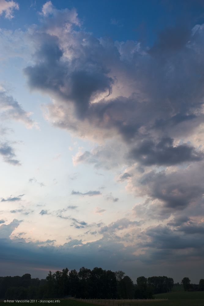
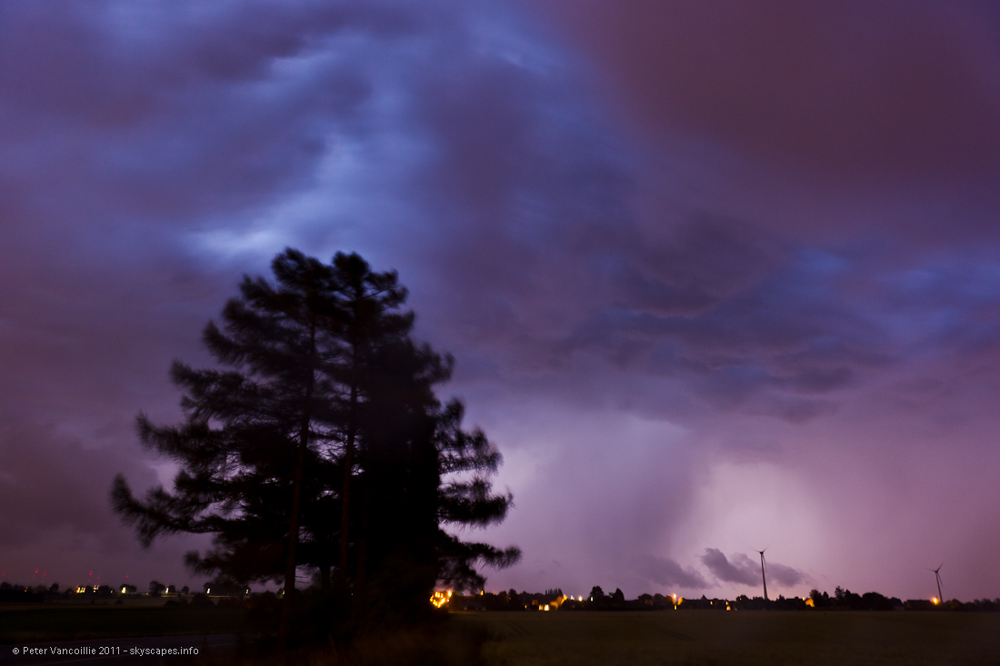
June 28th was a top day for our region. We didn't have such promising scenarios since the summer of 2009. It started late afternoon in the region I had to work that night. Luckily I could skip my task for a few seconds to take these pictures of a slightly left moving cell moving in from the south. View is towards the SW. This cell brought continuous rumble, a few gusts and tropical rains to Kortrijk, Belgium.
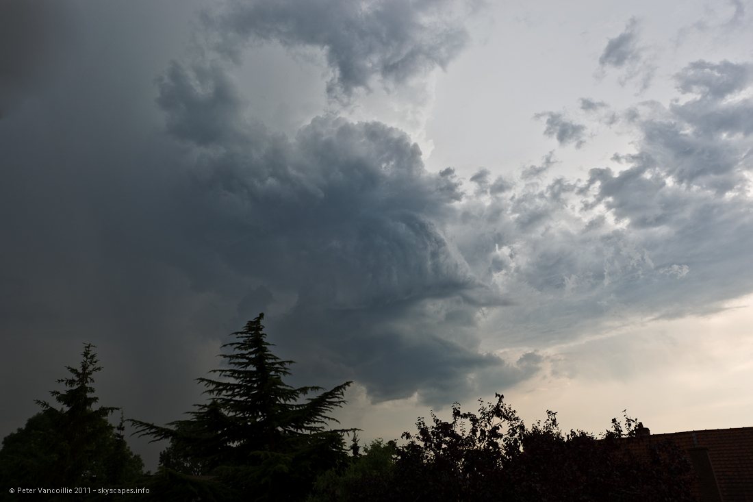
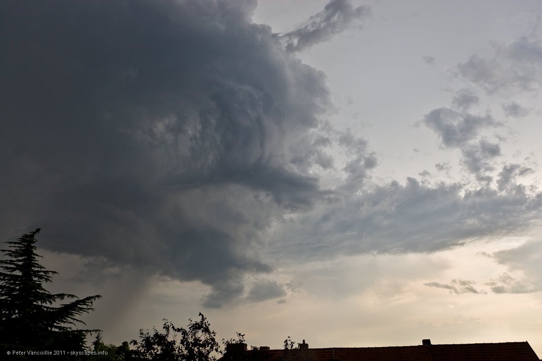
More detailed view of the small but pronounced updraft, moving more northwards than other cells. It initiated from a splitt cell south of Kortrijk.
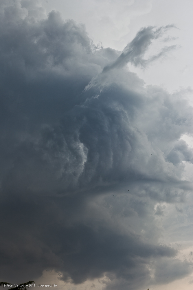
Moving in closer with a small rainshaft under the updraft.
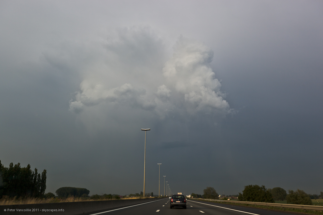
I couldn't see or follow the situation between 6 and 7pm. By 7.30pm a new tiny cell nearby started to throw around a few close CG's, but died very fast again in the wake of more developed storm systems already further NE. I got permission to leave a bit earlier and went off chasing with Bart. We followed this cell a little but there was no use keeping track of it, it was decaying.
We got of the E17 highway at Kruishoutem and went east to Ronse to first get some food.
In Ronse, a clear sky turned turbulent in a matter of minutes, but apart from a small shower towards Gent nothing actually happened.
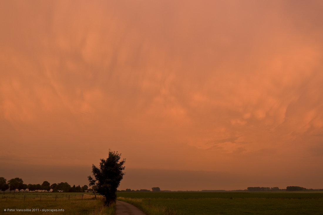
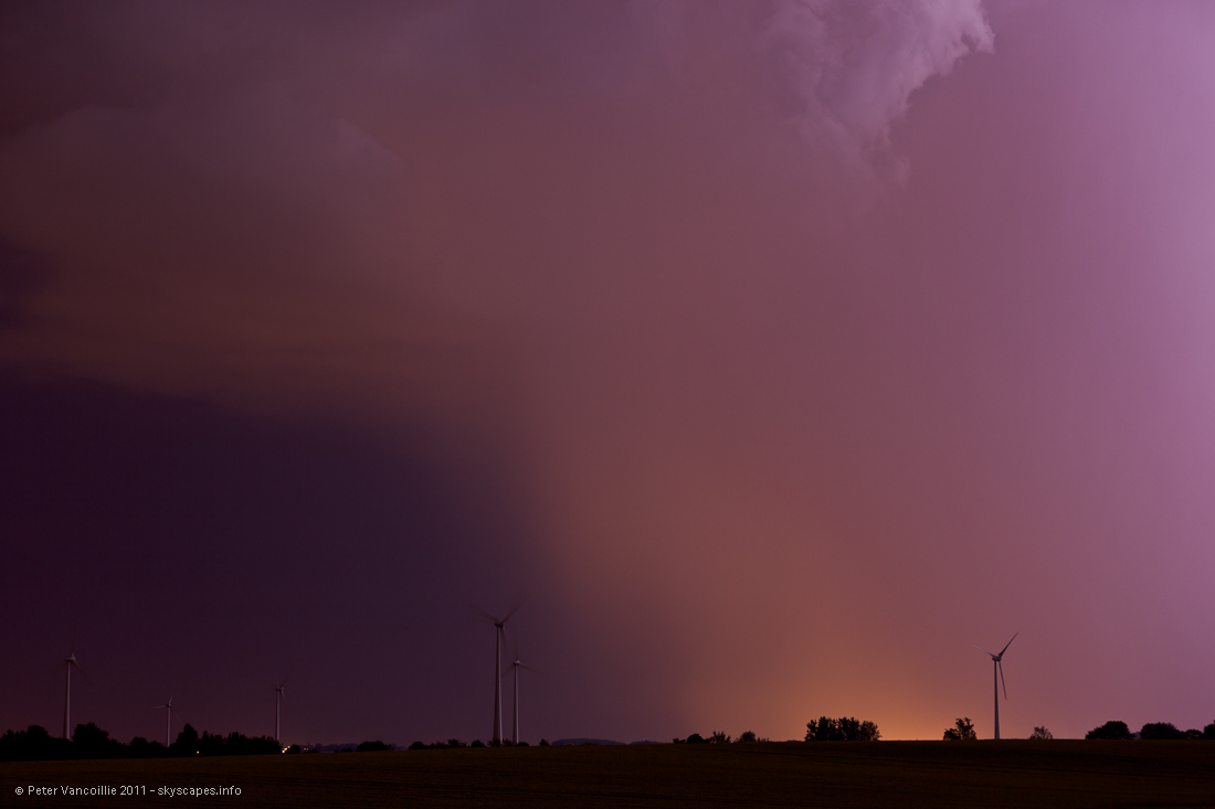
After checking the radar again, there was really only one option: SE towards the French border, where loads of big and very active storms developed along a line. When we were nearing Mons, the setting sun revealed some mammatus in the huge anvils from these storms
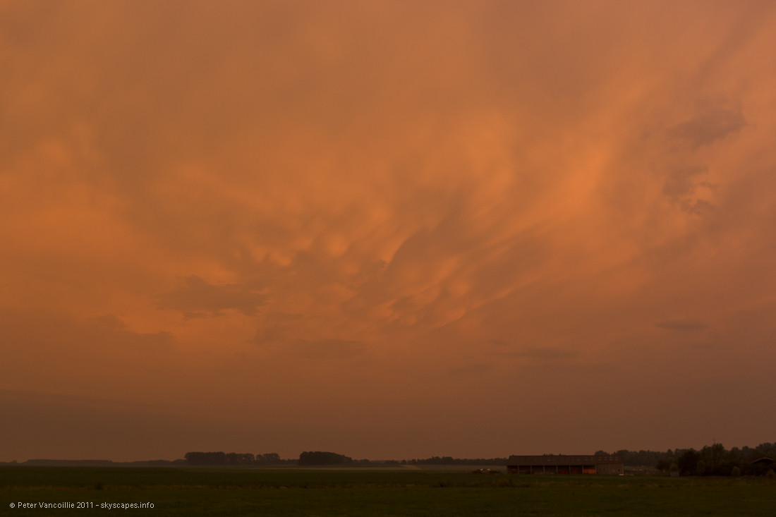
The color is natural here, everything looked eerie in this weird orange light that covered most of the sky.
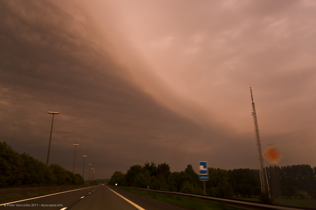
Driving further east towards Maubeuge (France) we went under this small shelfcloud
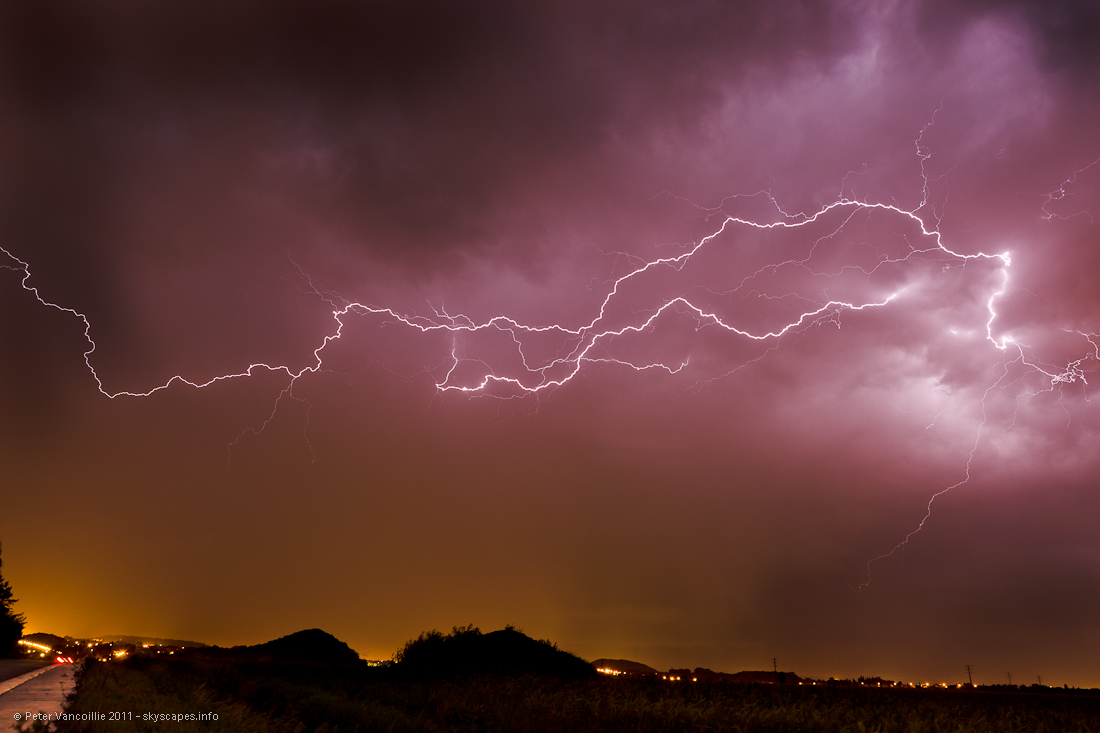
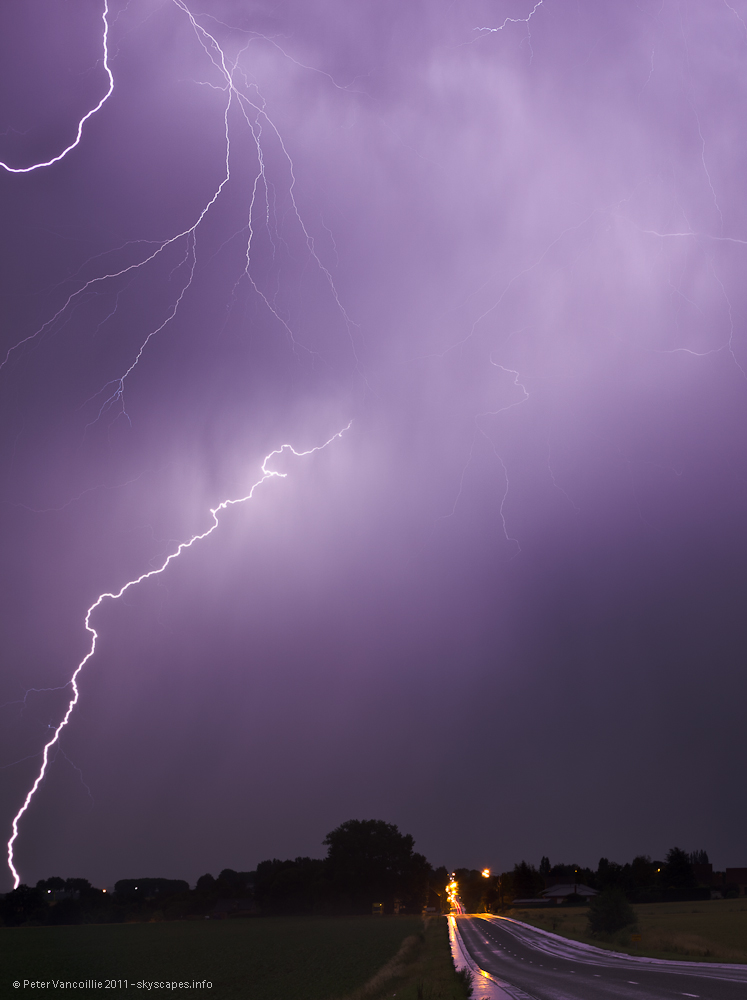
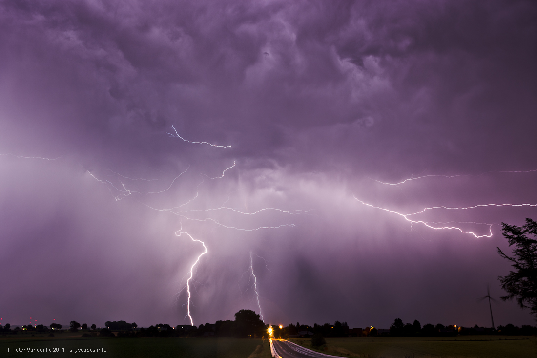
We stopped near Frameries. We would have stopped earlier but that was not possible with the highway system. This was all too close too sudden, and radar showed how that happened: a massive area was lifted between two systems and became a big storm in no time, with very frequent lightning all over the sky and around us. View: ESE
All in all, Frameries was a good spot. There were surely better, but looking for them in the dark is a painstaking task and often consumes to much time. Frameries was one of the spots with little rain compared to any other place in the next ten miles. And yes, there was lightning. View: WNW
Triple CG, quite unexpected in that corner. View: WNW
Interconnected overhead, storms where exchanging charges. View: W

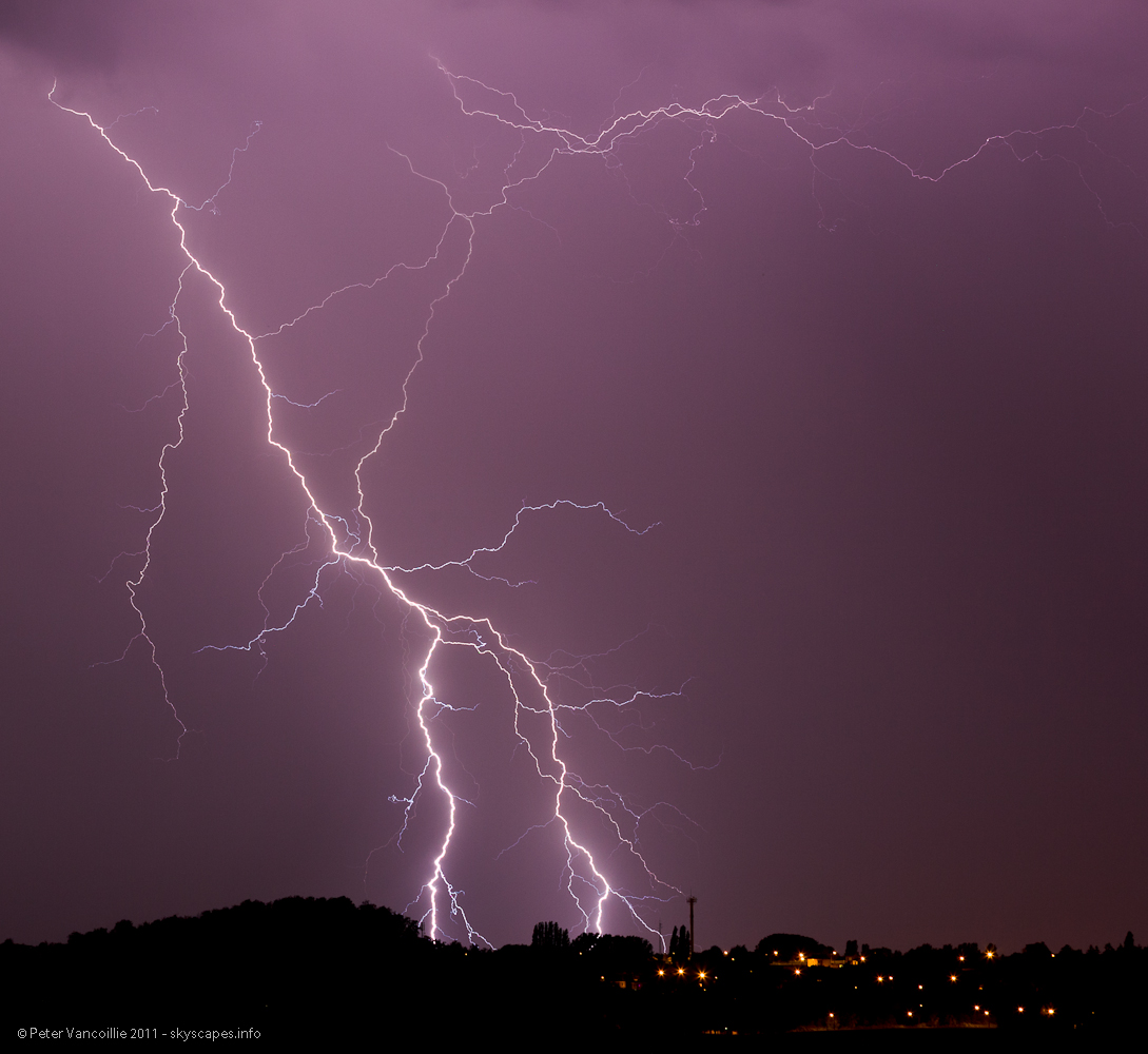
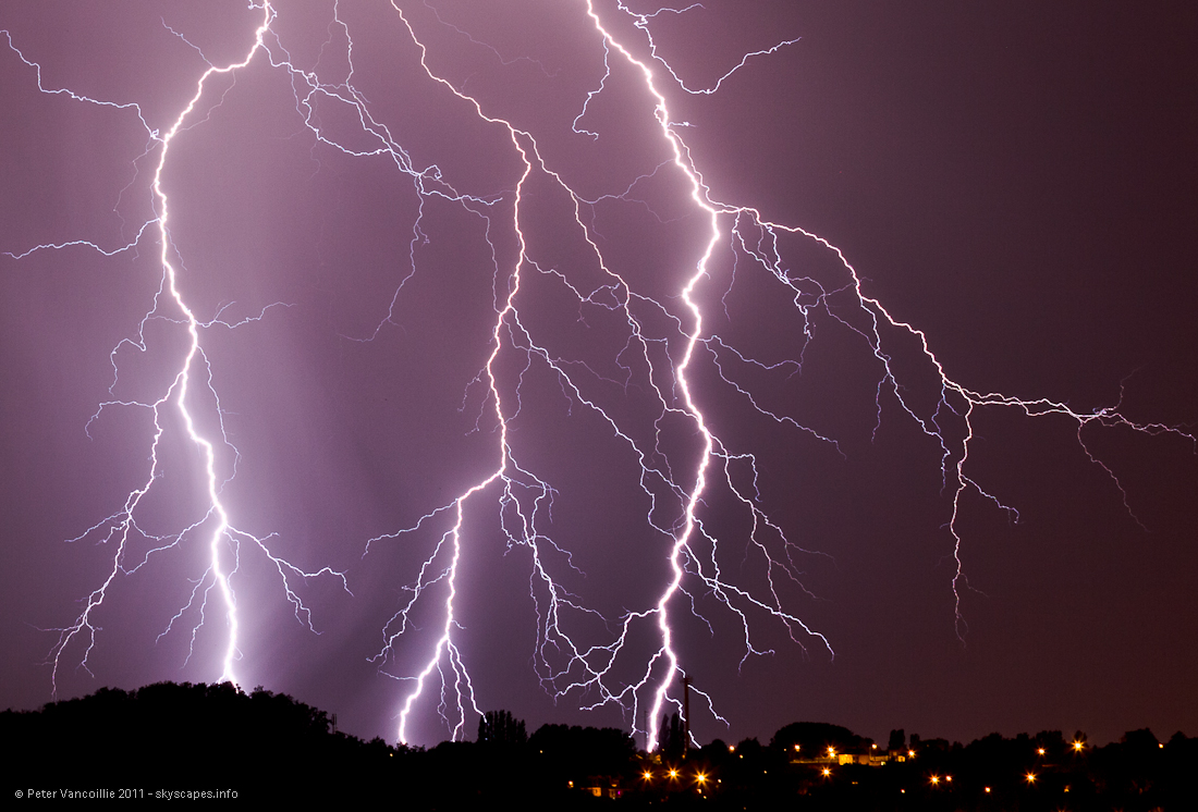
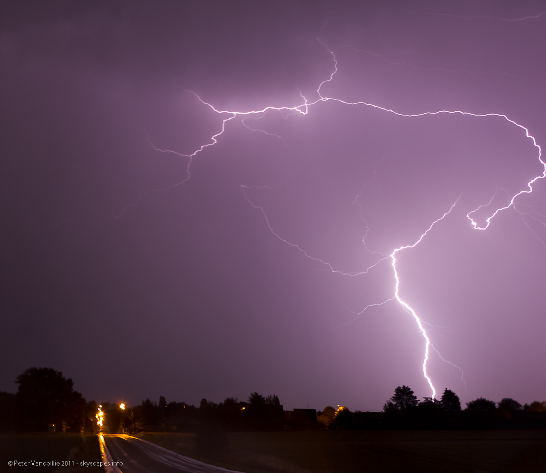
After some rain, a new cell developed right south of us, with intense CG's mostly out of the rainshaft. View: S
After some rain, a new cell developed right south of us, with intense CG's mostly out of the rainshaft. View: S
After some rain, a new cell developed right south of us, with intense CG's mostly out of the rainshaft. View: S
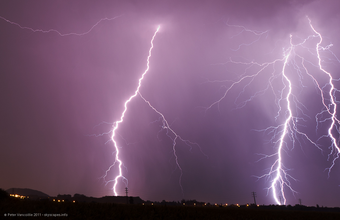
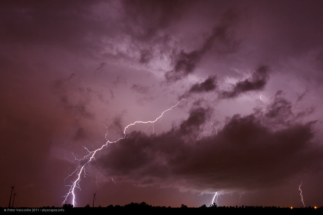
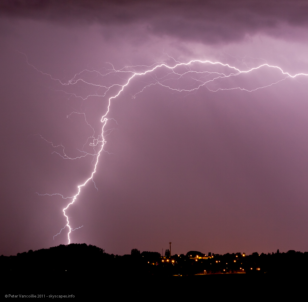
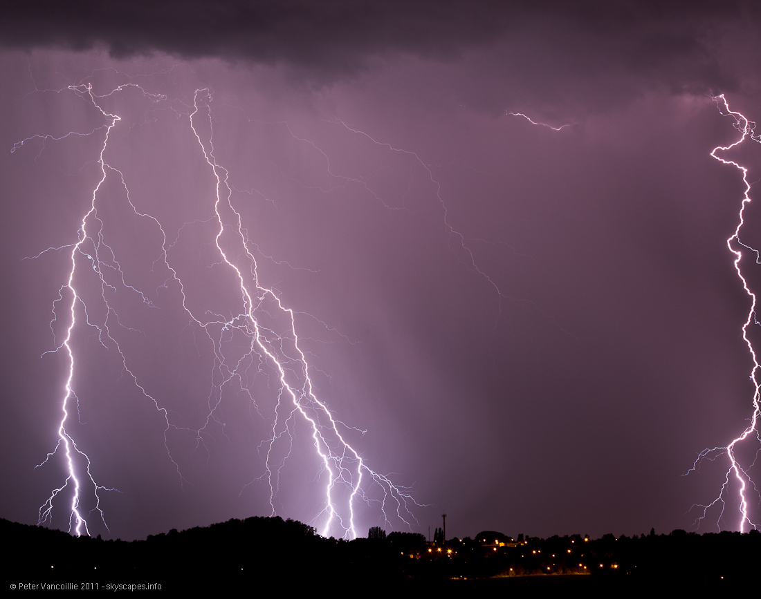
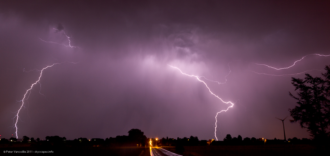
At the same time, a new line had developed west of us, and was pushed eastwards (the systems further east were pushed westwards which made the region a complete lift zone). It was slowly decaying while getting closer, but it still came with lots of CG (mostly). View: SW
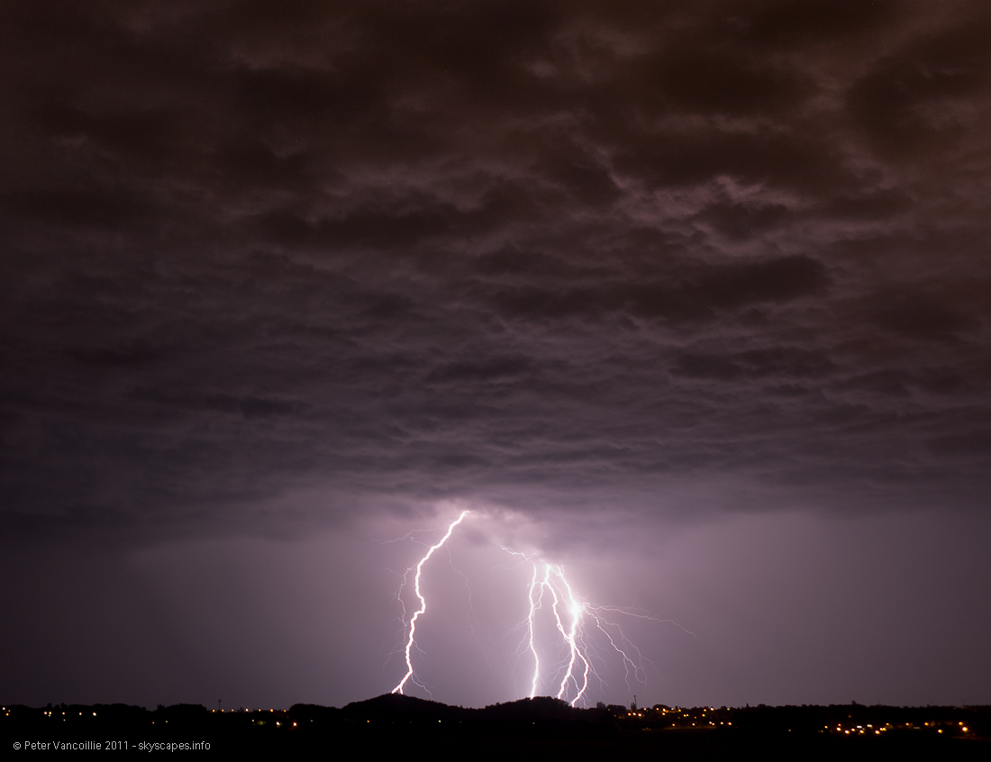
Multiple CG's. The left channel struck many times, with visual gaps inbetween. View: SW

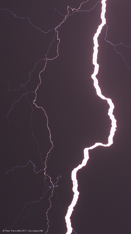
A detail from the main left CG channel in the photo above: multiple strikes through the same channel that is being blown forward through time, even causing some gaps in the main horizontally stretched channel.. View: SW
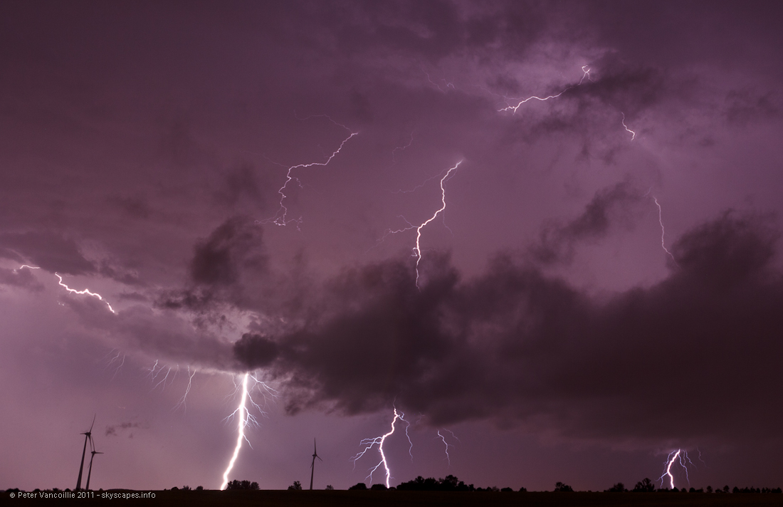
5D timelapse series showed nice lit-up cloudbase. View: SW
Traveling CG. View: SW
CG. View: SW
Multiple CG. Behind the hill, I saw a green flash from the ground twice when lightning struck. I couldn't see the point where it struck, but the flash was obvious. Powerlines being hit in the valley behind. I don't have any of them on photo though, and I doubt if it would show up. View: SW
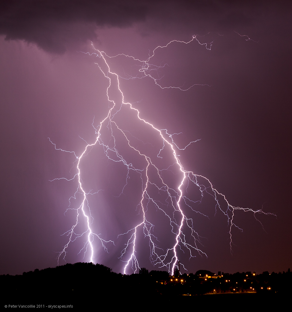
Smaller crop from the photo above. View: SW
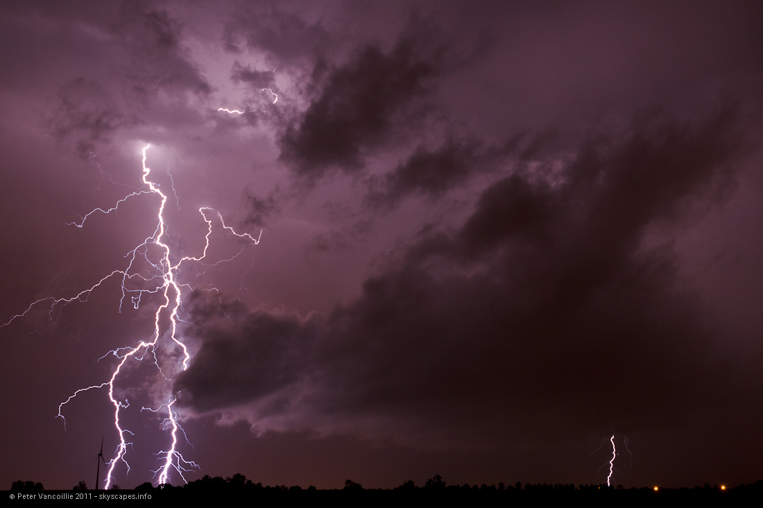
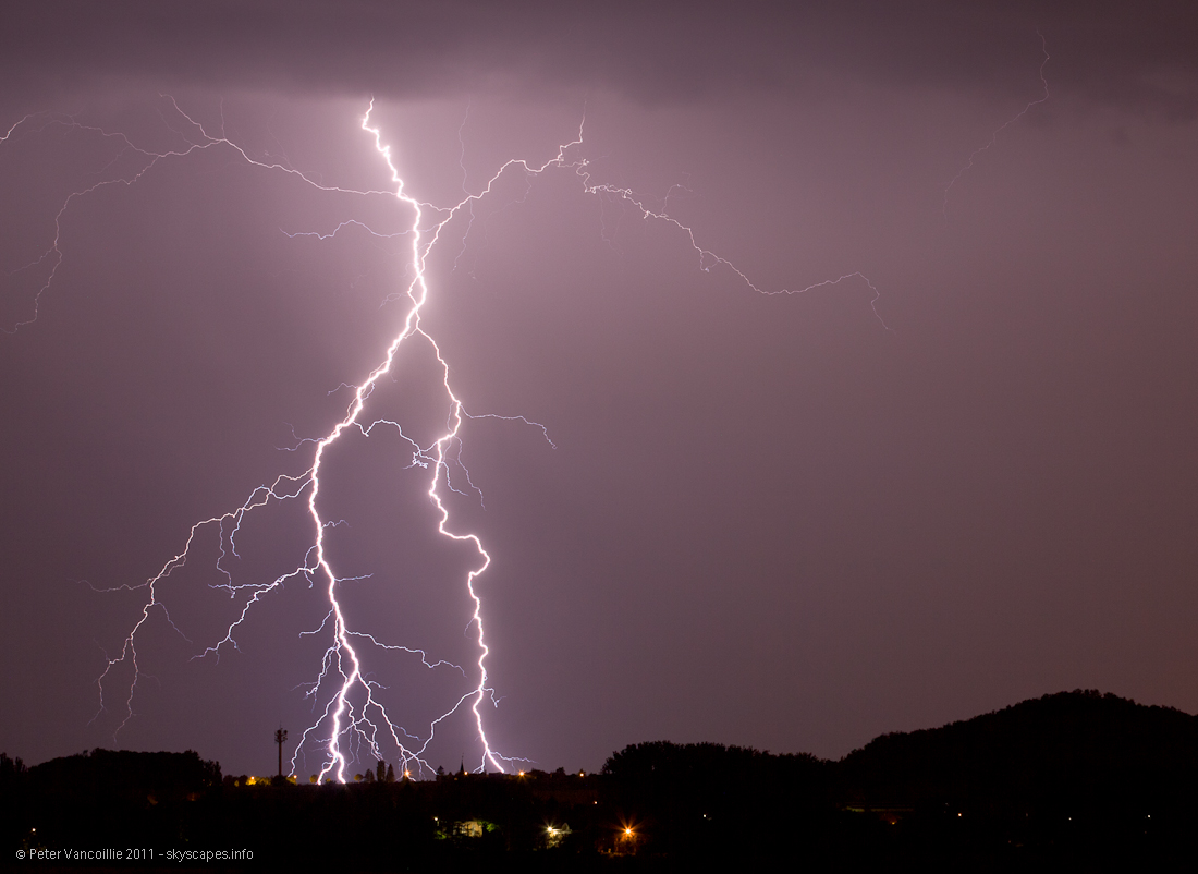
Multiple CG. View: SW
How to miss the closest bolt that night! 5DII pointed to the south
And the 5D pointed to the SW. Yes, it struck right between frames.

View to the east as the storms were moving away and decaying fast
View to the east as the storms were moving away and decaying fast
View to the east as the storms were moving away and decaying fast
View to the east as the storms were moving away and decaying fast
Timelapse with view to the SW (5D with 24-70)